Objectives
- Identify riverine ecosystems and species not adequately represented (i.e., gaps) in the matrix of conservation lands in the Missouri River Basin.
- Provide spatially explicit data that could be used by natural resource professionals, legislators, and the public to make more informed decisions for prioritizing opportunities to fill these conservation gaps and to devise strategic approaches for developing effective long-term biodiversity conservation plans.
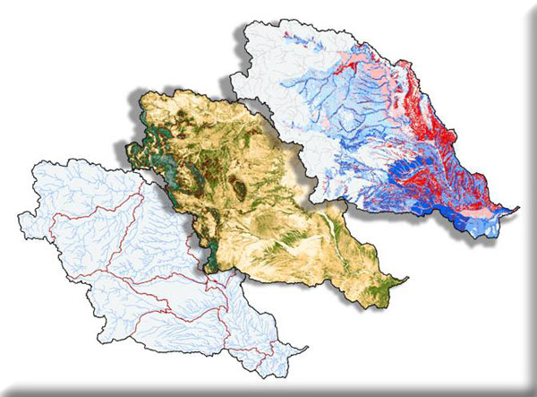
Funded in two parts, this project will integrate existing data and when necessary develop new datasets to conduct an aquatic gap analysis of the Missouri River basin. The first project component is to seamlessly integrate existing geospatial data (an ecological classification and species collections) developed collaboratively with the states of Iowa, Kansas, Nebraska, and South Dakota and create any missing or incomplete datasets. In addition, MoRAP will develop seamless fish probability of occurrence models by stream segment for all riverine species in the basin. Finally, the aquatic ecological classification and fish predictive distribution models will be used to conduct an aquatic gap analysis for riverine ecosystems of the Missouri River basin.
Project Files
-
To request a final report or other documents available for this project click the link. Please include the name of the project in your request.
- MoRAP Contact Information
