
MoRAP was established in 1996 to address the need for the development, analysis, and delivery of geospatial and remotely sensed data. We are situated within the University of Missouri Extension and School of Natural Resources, and have a lengthy history of collaborating with state and federal agencies, as well as non-profit conservation organizations and regional partners, to develop and deliver high-quality information for planning and decision-making purposes using the latest data sources and geospatial modeling approaches. Our group is well versed in numerous aspects of geospatial analysis, remote sensing and environmental modeling, from large scale, cloud-based computing to fine scale data capture via drone operations.
MoRAP Skillsets and Experience
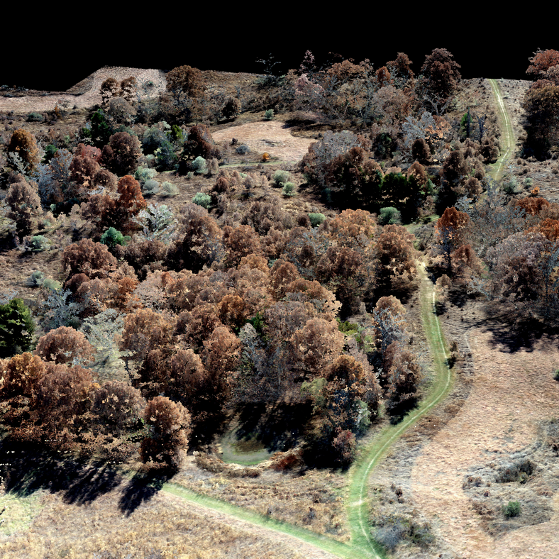
- UAV operation and remote sensing
- Satellite and aerial image analysis
- Natural resource planning
- Hydrological modeling
- Terrestrial ecology / vegetation mapping
- Climate data analysis and impacts assessment
- Land-cover classification (including object-based)
- LiDAR applications and terrain/landscape modeling
- Geospatial analysis
- Suitability analysis/modeling
Contact
Michael Sunde, Ph.D.
Assistant Professor | MoRAP Director
MU Extension Natural Resources Specialist
sundem@missouri.edu
(573)882-7552
333 ABNR Building
Columbia, MO 65211