MoRAP collaborates with its partners to produce maps and posters for various events, including local, state and national conferences. Some posters have been made to highlight MoRAP projects.
–
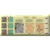
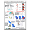
A Change Detection Methodology Sensitive to Subtle Variation in the Missouri Ozark Forests
–
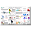
An Aquatic Ecological Classification System for Riverine Ecosystems
–
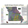
Aquatic Ecological Systems and Types
–
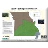
Aquatic Subregions of Missouri
–
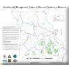
Biodiversity Management Status of Riverine Systems in Missouri
–
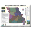
Ecological Drainage Units of Missouri
–
Ecological Systems Mapping – Crossing Boundaries
–
GIS Capture of Missouri Archaeology Surveys and Sites
–
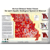
Human Stressor Index Values for Each Aquatic Ecological System in Missouri
–
Identifying Ecological Conservation Areas in EPA Region 7
–
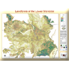
Landforms of the Lower Midwest
–
Mapping Current and Historic Vegetation at Pea Ridge National Military Park
–
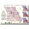
Missouri Aquatic Collections — Fish, Mussels, Crayfish and Snails
–
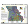
Missouri Aquatic Conservation Opportunity Areas
–
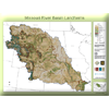
Missouri River Basin Aquatic GAP
–
Missouri River Basin Landforms
–
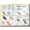
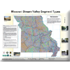
Missouri Stream Valley Segment Types
–
Modeling Species Distributions for Conservation Planning
–
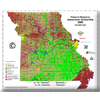
MoRAP 2005 Landcover
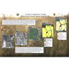
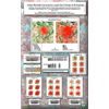
Pipestone National Monument Vegetation Change 1938-2008
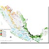
Potential Aplomado Falcon Habitat in Mexico
Update of PAD-US for Missouri
–
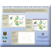
Urban Remote Sensing for Land Use Change and Impacts
–
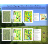
Vegetation Mapping at Wilson’s Creek National Battlefield
–
Wetlands Mapping In East-West Gateway Using LIDAR
–

