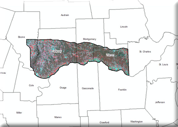

MoRAP will use LiDAR data, where available, to determine forest stand height. Where LiDAR data is not available, forest height will be modeled using SPOT 5 imagery and other ancillary data layers. In addition, a 12 to 14 class landcover classification will be produced and may be enhanced using image objects derived from NAIP photos to improved spatial resolution, and modeling via interpretation of Ecological Land Types (ELT’s) to improve thematic resolution.
