
Objectives
- Participate with East-West Gateway staff to develop GIS data layers needed to implement an ecological approach to infrastructure planning.
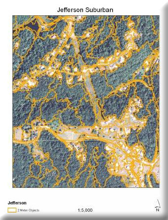
- Gather existing data and create a new landcover data layer needed to define ecological significance for a pilot area, tentatively Jefferson County.
- Generate an initial ecological significance surface at 6 meters resolution by combining landcover with other data on elements of ecological concern.
- In coming years we will move forward to complete an ecological significance data layer for the entire East-West Gateway planning region.
The goal for this year will be to work out methods and provide initial results such that a uniform, fine-resolution ecological significance surface can be created for the region in years two and three of the project. We envision use for planning at both a regional and site-specific scale of resolution. This effort will differ from what is available in that we will develop a better land use/landcover data layer at fine resolution (2 to 6 meter pixels) as a base, and then integrate data on multiple variables (e.g. historic versus current vegetation, rare species, other significant natural resources) to define ecological significance. We will also use newly available information on riverine species distributions and stressors, so the result will consider both aquatic and terrestrial ecosystems.
Project Files
- Morap Contact Information
To request a final report or other documents available for this project click the link. Please include the name of the project in your request.