
![]()
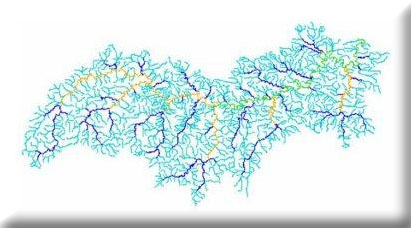
This project consists of developing reach specific drainage area polygons, often referred to as segment-sheds, for each of the primary channel stream segments in the 1:100,000 scale National Hydrography Dataset (NHD) of the Buffalo River watershed. Additionally, total area and percent of the watershed contained in each landcover class, soil surface texture class, and geologic formation will be computed. Landform characterizations including mean land slope, stream gradient and basin relief will also be tallied along with the total number of springs above each stream segment.
Project completed September 2006.