
![]()
Objectives
- To develop a floodplain and valley bottom data layer for use in developing spatially-explicit population goals and habitat objectives for wetland-associated priority bird species across the Central Hardwoods Bird Conservation Region (CHBCR).
- To complete the delineation of landtype associations (i.e. subdivisions of ecological subsections as defined in the National Hierarchical Framework of Ecological Units) for the CHBCR.
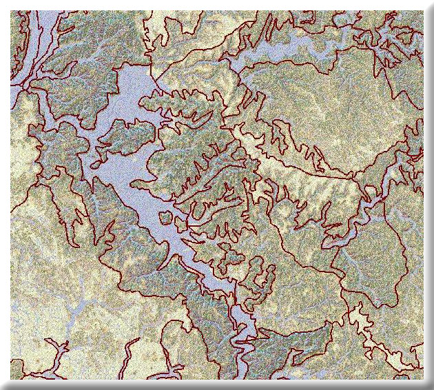
The objectives are to develop two spatial data layers for use in conservation design and integrating implementation in the Central Hardwoods Bird Conservation Region. The first will be a floodplain and valley bottom data layer for use in developing spatially-explicit population goals and habitat objectives for wetland-associated priority bird species across the Central Hardwoods Bird Conservation Region (CHBCR). The second data layer will complete the delineation of landtype associations (i.e. subdivisions of ecological subsections as defined in the National Hierarchical Framework of Ecological Units) for the CHBCR. Those will be used to better link priority bird species suites to specific landscapes with the greatest potential to support them and other species of conservation concern identified in the Comprehensive Wildlife Conservation Strategies of states overlapping the Central Hardwoods Bird Conservation Region. Both layers will help the Central Hardwoods Joint Venture (CHJV) partnership to provide a spatial context for coordinated decision-making among state, federal and private organizations working in the ecoregion.
This project is complete.