Objectives
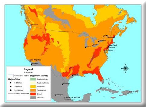
- Identify high conservation value (HCV) and high restoration value forests for the Cumberland Plateau ecoregion.
- Deliver information for use in a conservation assessment in the southern Cumberland Plateau.
Our goal was first to develop methodologies for identifying high conservation value forests on an ecoregion by ecoregion basis, using the Cumberland Plateau as an example. Second, we explored methods for delivering the results to managers for practical use. Deliverable products specified in the contract include: (1) a landform (enduring feature) data layer, (2) a core forest (forest conservation opportunity areas) by landform data layer, and (3) a prioritization of forest conservation opportunity areas (e.g. high conservation value forest patches). All products were delivered via CD in ArcView-compliant format, and selected products are posted via Arc Internet Map Server.
We provided data for a regional meeting of forest planners coordinated by the World Wildlife Fund. The results provided a general set of guidelines for standardized data gathering, analyses, and delivery for managers and decision-makers of modest technological sophistication.
