

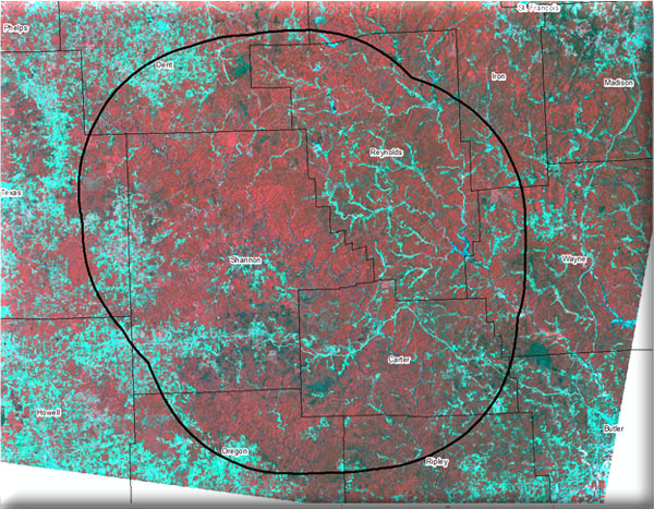
MoRAP will use multi-temporal Landsat Thematic Mapper imagery together with environment data (e.g. % slope, land position, aspect) to classify landcover. The landcover will be combined with image objects based on NAIP photos to improve spatial resolution. MDC Ecological Land Types (ELT’s) will be interpreted based on landcover to model current vegetation to improve thematic resolution. The overall result will be a 10 meter current vegetation map with greater than 20 mapped classes.