Objective
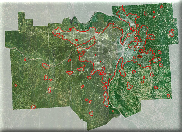
MoRAP is working with the East-West Council of Governments to develop a fine-resolution land use/landcover dataset covering urban areas in the St. Louis region. The scope of work builds on past work done by MoRAP in partnership with East-West Gateway designed to map urban landcover at fine resolution. Previous projects covering limited areas, have led to significant improvements in methodology. The study area consists of urban areas of the East-West Gateway region, as defined by the 2011 National Land Cover Data Set.
