
![]()
Objectives
- Identify locations of natural resources and habitats within the Missouri river corridor for EPA region 7 (Missouri, Kansas, Iowa, Nebraska).
- Identify locations of potential environmental hazards within the corridor.
- Use spatial data regarding resources and environmental hazards to create a digital and hard copy sensitivity atlas.
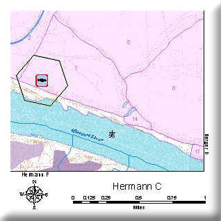
The Missouri River corridor is of special concern to environmental planners because it harbors significant environmental resources such as wetlands, endangered species (e.g. pallid sturgeon, least tern), and adjacent loess hills natural communities. The corridor also serves as a transportation route, both on the river itself and along major highways near the river, and supports large cities such as St. Louis, Kansas City, and Omaha. Fertile croplands usually occupy the floodplain from bluff to bluff. Planners need to have an accurate inventory of the significant natural resources of the corridor as well as the environmental hazards so that risks can be avoided or recognized and mitigated. A detailed sensitivity atlas available to planners and researchers will be a format useful to promoting sustainable development in the river corridor.
We created a turn-key GIS designed for us by EPA First-Responders for two counties along the Missouri River. Methods we developed we employed by EPA Region 7 staff to move forward with the development of a Sensitivity Atlas for the entire Missouri River Corridor within EPA Region 7.
Project Files
-
To request a final report or other documents available for this project click the link. Please include the name of the project in your request.
- MoRAP Contact Information