
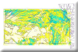
Kansas Land Type Associations (LTAs) were drafted by characterizing landforms using Digital Elevation Models (DEMs) and intersecting the results with geology and soils data layers. LTAs circumscribe relatively homogeneous geolandforms, which in turn control vegetation patterns and management options.
We used landform models, geology, soils, and previous work on ecoregions to model the landtype associations for Kansas. These data were delivered for use by workers in Kansas, and were used in several other related analyses.