

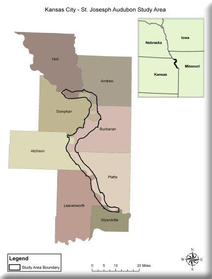
This project sought to assemble and create spatial data to aid in the identification of potential wetland restoration areas within the Missouri River corridor between St. Joseph and Kansas City, Missouri. Data layers created and acquired include elevation (absolute and relative), soil, tract boundaries, land use/landcover, landscape context, and abiotic site type information. By considering a number of the datasets together we identified areas that are potentially suitable for wetland restoration. Holbrook et al. (2006) suggested that relatively low topographic locations that have soils of slow infiltration are most prone to surface ponding and are the most ideal locations for wetland restoration. Such locations within the river flood plain frequently occupy old river channels that have been filled by sediment over time. It is possible to identify locations such as these using the United States Department of Agriculture (USDA) Natural Resources Conservation Service (NRCS) hydrologic soil type and the relative elevation (river level) data we created.
Project Files
-
To request a final report or other documents available for this project click the link. Please include the name of the project in your request.
- MoRAP Contact Information