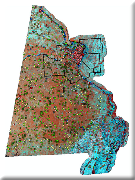
A fine-resolution, spatially specific ecological land type / site type data layer is under development (the ECS Project) in concert with NRCS, the University of Missouri, and other partners. This data layer will serve as a basis for defining prevailing historic vegetation and commonly encountered human-associated vegetation types, and these in turn will be used to develop management options and provide benchmark metrics for monitoring. However, we are missing a complimentary fine-resolution ‘existing vegetation’ map. Recent advances in remote sensing software, coupled with results from the ECS project and lessons learned from similar projects, will allow us to develop this fine-resolution existing vegetation map.
We will produce a greatly enhanced map of existing vegetation map for Missouri by (1) improving the number of mapped vegetation types from fewer than 20 to more than 100, and probably more than 150, (2) improving the spatial resolution from 30 meter pixels to 10 meter or smaller pixels, (3) using the most recent imagery to provide assessment of current conditions, and (4) providing a set of interpretive materials to accompany the map that will help users interpret existing vegetation in terms of potential vegetation and dynamics.
