
Objectives
- Create an updated unified public land ownership data layer for Missouri.
- Provide a mechanism of on-going, timely up-dates of this information.
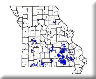
The location of public lands, and the juxtaposition of various public land ownerships in relation to each other and in relation to significant natural features is of conservation and managment concern. We are currently up-dating the existing circa 1996 coverage. The coverage was available summer 2003 which has the public lands for Missouri Department of Conservation, Department of Natural Resources, U.S. Fish and Wildlife Service, U.S. Army Corps of Engineers, and U.S. Forest Service updated with the most recent data.
In 2003 MoRAP began working with MoDOT on a public lands update for the major metropolitan areas in Missouri. This project focused on Kansas City, St. Louis and Springfield. The initial public lands mapping for this project was completed in 2004. Currenly a second iteration is being worked on for 2005.
MoRAP originally mapped public lands within Missouri for the USGS Gap Analysis program. Since then, funding for up-dates and maintenance of this data layer has been sporatic. The most recent up-date involved the addition of public lands within larger metropolitan areas using funding provided by the Missouri Department of Transportation.
Project Files
-
To request a final report or other documents available for this project click the link. Please include the name of the project in your request.
- MoRAP Contact Information