
![]()
Objectives
- Increase the accuracy to which wetland areas can be identified using remotely sensed information together with fine-resolution site type modeling.
- Determine relative increase or decrease of wetland amount by comparing data from Objective 1 above to earlier NWI datasets.
- Identify areas of potential wetland restoration by mapping abiotic site types using multiple environmental data layers within a geographic information system.
- Quantify and set priorities for conservation and restoration based on landscape context analyses of data created in 1 – 3, plus proximity to public lands.
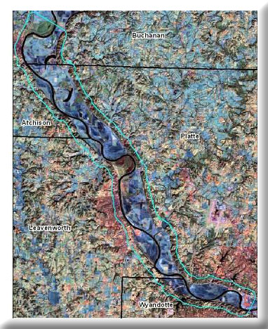
Past wetland protection projects have been hampered by the lack of accurate, up to date, wetland maps. Restoration efforts have likewise been limited due to a lack of relevant site locations where restoration efforts can provide maximal impact. This project will aid protection and restoration efforts along the Missouri River by creating up to date digital data outlining the location and type of existing wetlands and potential restoration sites, and will provide an algorithm for ranking each 10m pixel in terms of wetland conservation and restoration priority. Additionally, changes in wetland type or abundance will also be determined. Wetland mapping and change will be based on current satellite imagery and data from the National Wetlands Inventory (NWI). Potential restoration based on abiotic site types will use fine-resolution digital elevation models of the river bottom (bluff to bluff), river flood stage data, and soils data within a GIS environment.
This project was completed in August 2008.
Project Files
-
To request a final report or other documents available for this project click the link. Please include the name of the project in your request.
- MoRAP Contact Information