
Objectives
- Provide an ecological systems classification for Texas at fine thematic (more landcover classes) and spatial resolution by first classifying the existing vegetation, and then modeling the ecological systems by overlaying data such as land position, slope, aspect, and soil type
- Provide an interpretation of the existing vegetation by producing (1) a graphic presentation and description of the prevailing ecological systems for each region tied to landscapes/ecological site types on which they occur, (2) a graphic presentation and description of the prevailing contemporary landcover types for each region tied to landscapes, and (3) an explanation of how major ecosystems (e.g. grassland, shrubland, forest) have responded to modern land use patterns for each ecoregion
- Aid the Texas Parks & Wildlife Department in production of information from the products produced that is useful for land management and decision making at different scales
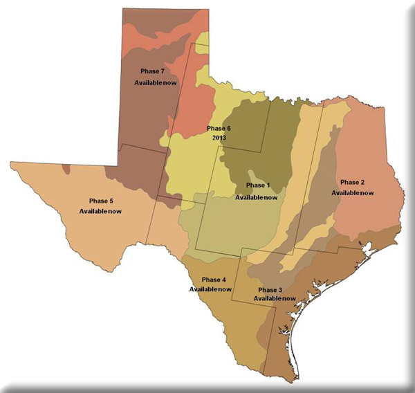
The Texas Ecological Classification Project is an initiative of the Texas Parks & Wildlife Department. A number of key partners (e.g. TNRIS, TX FS, NRCS, NatureServe, TNC) are involved along with MoRAP in various aspects of the project. The partners are taking the time needed to provide a higher resolution landcover with better accuracy than what is currently available. In addition, the products will be tailored for interpretation and for practical use by different types of land managers and decision makers.
Project Files
-
To request a final report or other documents available for this project click the link. Please include the name of the project in your request.
- MoRAP Contact Information
