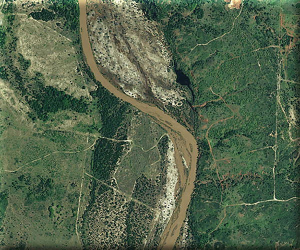
The landcover maps of Oklahoma and Texas will be seamlessly joined to create a single map. Edge matching must be performed to accurately join the two maps. We will use unique database codes associated with mapped ecological systems types to ensure matching names between Texas and Oklahoma datasets in order to create a unified dataset. We will address gaps between the state datasets, overlaps between the datasets, and differences in naming and mapping concepts between the datasets.
In addition to gaps and overlaps, differences are related to landcover disagreement, digital soil mapping discrepancies, and ecological systems modeling concept differences. These will be addressed using new field data, new remote sensing data, and/or hand modification of digital soil map unit polygons.
We will create an enduring features (ecological site type, geolandform) dataset for Oklahoma that is similar to, and essentially seamless with, the enduring features dataset we created for Texas. We will use the enduring features dataset to create a land cover coding key for map updates. The key will identify the prevailing historic ecological system for each enduring feature, and the ecological system associated with every major land use/landcover type.
MoRAP will work with the Texas Parks and Wildlife Department (TPWD) and the Oklahoma Department of Wildlife Conservation (ODWC) to collect field data on grasslands in the panhandle of Texas and adjacent Oklahoma.
