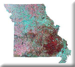
MoRAP is involved in a project to apply remote sensing technologies to identify and evaluate mid-continent wetland types.
Project Files
-
To request a final report or other documents available for this project click the link. Please include the name of the project in your request.
- MoRAP Contact Information
