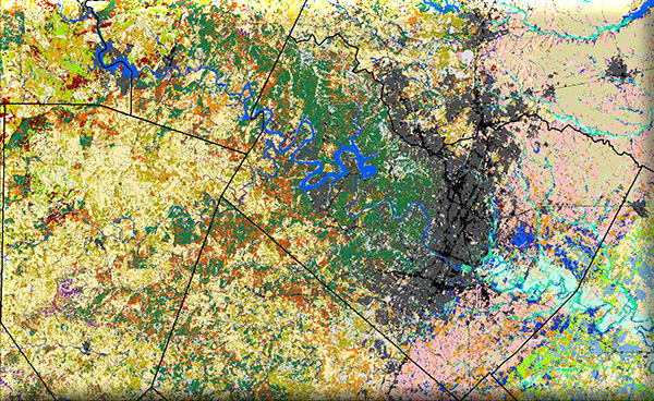
 This project will provide an updated habitat map that will be used in the management of the Golden-cheeked Warbler in the face of urban expansion, and will also provide a workable methodology for developing landcover updates in the future. A good deal of change has occurred in the Austin area over the past 7 to 9 years, so an update would help to better inform planning for conservation and management.
The current habitat map for the Austin, TX area was completed by MoRAP (Texas Ecological Systems Classification) using original satellite remote sensing data collected from winter of 2005 to spring of 2007 (satellite Path 27, Row 39). Specifically, satellite images from Sept 26, 2005, Feb 14 2005, and April 4, 2007, were represented in the fall-winter-spring image mosaic.
This is a cooperative project between the Texas Parks and Wildlife Department and Dr. David Diamond, Ph.D., to update the Ecological mapping Systems of Texas (EMS_T) Database from 2007 to 2014 for evaluation of the amount of urban development and vegetation community change in and near identified critical habitat of Golden Cheeked Warbler – GCWA (Setophaga chrysoparia).
